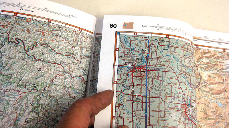
Dualsport riding is a great way to explore the countryside. I'm always finding cool places off the beaten path. But... navigation can be problematic. Of course, a GPS can be invaluable not only to keep from getting lost but to discover new ways to get from here to there. The problem with a GPS is once you zoom out enough to get a good overview of the area you lose all the fine details. A good quality state road map is great for the overall view but the really interesting trails, jeep roads, etc. are not shown.
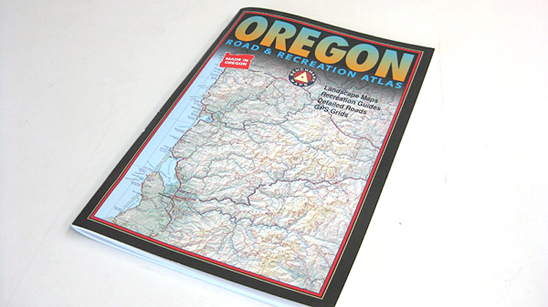
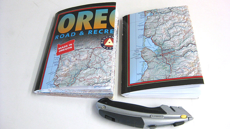
I really like the state 'gazetteer' maps available from DeLorme and Benchmark Maps. The level of detail fills in the gap between the GPS and a road map. Unfortunately they are so large as to be difficult to carry on a motorcycle. A simple solution that works very well is to cut your gazetteer in half. I've been doing this for years. Now it's easy to carry high detail maps with me on every ride.
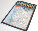
First, get yourself an atlas or gazetteer:
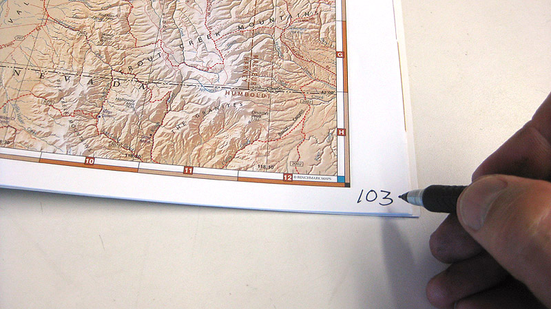
If your map has page numbers at the top write matching page numbers in the bottom corner.
If your map has numbers at the bottom write new ones at the top.
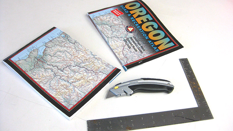
Take a good sharp utility knife and a straight edge and cut it right in half:
Fold each page inward toward the center. Leave about a 1/4" gap in the middle so fold in the center doesn't bind:
Fold the outer covers in. Leave about a 1/2" gap in the center so you can use the covers as bookmarks:
You're done! The newly compacted map is one quarter the size of the original and will easily fit in a quart Ziplock bag.